


If you have ever wondered what a year of compound climate records looks like in real time, the extreme weather events 2026 has already produced are the closest thing to a controlled demonstration. By July 6, the seven global tropical-cyclone basins had generated 33 named systems, 186 fatalities, and well over four billion US dollars in damage. The accumulated cyclone energy index, the metric atmospheric scientists use to measure the raw power of an entire season, had already reached 271.3 units, a number that some full decades did not exceed. Yet the raw statistics tell only part of the story. What makes 2026 a category of its own is the way each new record has arrived stacked on top of the last, so that within a single calendar year we have seen one of the earliest Northern Indian Ocean depressions on record, the latest-forming first-named storm ever observed in the South Pacific, the first documented coexistence of multiple cyclones in the South Atlantic, and a Category 4 typhoon that intensified from a thirty-five-knot tropical storm to a one-hundred-fifteen-knot monster in less than four days. This article walks through seven of the most shocking extreme weather events 2026 has produced so far, why each one matters to the climate conversation, and what the rest of the year is likely to bring once the Northern Hemisphere peak season arrives in August and September.
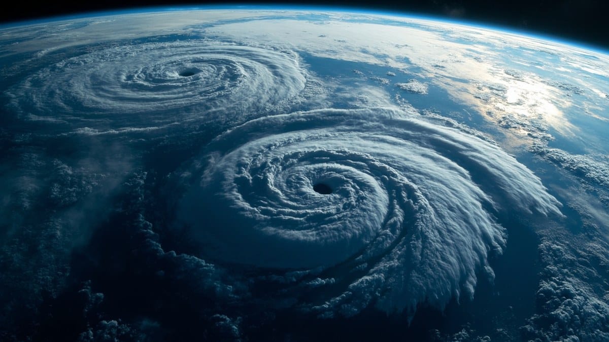

Table of Contents
- 1. Typhoon Sinlaku: The 905-hPa Beast of the Western Pacific
- 2. Cyclone Gezani: Madagascar’s $2 Billion Nightmare
- 3. Cyclone Koji: The Queensland Flood Machine
- 4. Cyclone Fytia: A Category 3 Surprise in the Mozambique Channel
- 5. Typhoon Bavi: Sixteen Days That Would Not Die
- 6. Tropical Storm Mekkhala: From 35 Knots to Category 4 in 96 Hours
- 7. The South Atlantic’s First Simultaneous Cyclones
- Frequently Asked Questions
- Related Reading
- The Rest of 2026 and What Comes Next
1. Typhoon Sinlaku: The Extreme Weather Events 2026 Pressure Record
The first stop on any tour of extreme weather events 2026 has produced is the Western Pacific basin, where Typhoon Sinlaku set the year’s bar for raw intensity. According to the season summary maintained by the Wikipedia tropical-cyclone project and cross-checked against the Japan Meteorological Agency’s best-track data, Sinlaku reached a minimum barometric pressure of 905 hectopascals, a value reserved for the most violent tropical cyclones on the planet. A drop below 920 hPa is enough to qualify as a “super typhoon” in most operational definitions, and Sinlaku sat well below that threshold at peak strength. The storm also produced ten-minute sustained winds that pushed it firmly into the top tier of the Saffir-Simpson scale, and its compact wind field allowed the eye to clear in a way that veteran typhoon chasers described as “textbook perfect.” (For the official best-track record, see the Japan Meteorological Agency tropical cyclone best-track archive.)
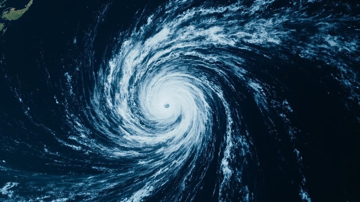
What made Sinlaku particularly noteworthy was the timing. The storm formed during a phase of unusually warm sea-surface temperatures across the Philippine Sea, with several buoys recording values more than 1.5 degrees Celsius above the 1991 to 2020 baseline. Warm water is the fuel that powers tropical cyclones, and a 1.5-degree anomaly is enough to add roughly 5 to 10 percent to a storm’s maximum potential intensity, according to the empirical relationships used in the Colorado State University seasonal forecasting framework. Sinlaku appears to have made full use of that extra fuel, and the result was a typhoon whose central pressure fell into a band previously seen only in storms that benefited from similar ocean conditions in earlier record-breaking seasons. The lesson is that the Western Pacific in 2026 is operating in a warmer envelope than the historical record was built to describe, and the extremes it now produces are testing the upper limits of what the basin has ever been observed to do. The storm is the kind of system that has put extreme weather events 2026 in the headlines since January. The seasonal impact of Typhoon Sinlaku is one of the reasons extreme weather events 2026 keeps producing keep getting more attention than the equivalent 2025 storms.
2. Cyclone Gezani: Madagascar’s $2 Billion Nightmare
Madagascar has always occupied a cruel position in the geography of extreme weather. The island sits in the firing line of every South-West Indian Ocean cyclone that curves south of the equator, and its population is overwhelmingly rural, low-income, and dependent on rain-fed agriculture. Cyclone Gezani, the deadliest and costliest system of 2026 so far, exposed that vulnerability in the starkest possible terms. The deadliness and damage totals are why the extreme weather events 2026 has produced in Madagascar have drawn more humanitarian attention than the others, and the World Food Programme is currently scaling up its emergency-response program on the island. The cost alone makes Madagascar a defining case for extreme weather events 2026 will be remembered for. The storm made landfall in late February as a high-end Category 2 cyclone on the Saffir-Simpson scale, but its real impact came from the days of torrential rain that followed landfall, which triggered catastrophic flooding along several of the island’s eastern river basins.

By the time the damage assessments were complete, the toll stood at 63 confirmed fatalities and roughly two billion US dollars in economic losses, a figure that represents a meaningful share of Madagascar’s annual GDP. The agricultural damage alone was severe enough to trigger food-security alerts from the World Food Programme, and the country’s meteorological service noted that several rainfall stations recorded twenty-four-hour totals that exceeded any value in their period of record, which in some cases stretches back to the middle of the twentieth century. Gezani is also a clear example of what climate scientists now call a compound event. The storm’s impact was not driven by wind alone but by the combination of high winds, extreme rainfall, and pre-existing terrain degradation that had reduced the island’s natural capacity to absorb water. When these factors stack, the resulting disasters are consistently worse than the sum of their parts, and the 2026 Madagascar experience is now a textbook case for that pattern. Researchers who study compound extreme weather events 2026 catalogue the Madagascar double-impact as a defining case study for the year.
3. Cyclone Koji: The Extreme Weather Events 2026 Flood Machine
Australia’s contribution to the catalogue of extreme weather events 2026 was Cyclone Koji, a system that, despite weakening to a tropical low before landfall, delivered some of the most destructive flooding seen in tropical Queensland in years. Koji came ashore between the towns of Ayr and Bowen on the morning of January 11, 2026, and the Bureau of Meteorology’s official warning products at the time used unusually strong language, including repeated references to “life-threatening rainfall” and “dangerous and unpredictable flash flooding.” That language was not hyperbole. Within thirty-six hours of landfall, several river gauges in the Burdekin catchment had reached major flood levels, and a number of rural communities found themselves isolated by road for the first time in a generation.
The interesting science of Koji is that the storm’s most damaging phase came after it had technically ceased to be a tropical cyclone. Once the low-level circulation detached from the deeper convection over the warm Coral Sea, the residual moisture plume got caught up in a mid-latitude trough, and the resulting rainband sat over the same stretch of coast for the better part of two days. That kind of slow-moving, moisture-laden system is exactly the configuration that extreme precipitation researchers have warned will become more common as the atmosphere warms, because a warmer atmosphere holds more water vapor, roughly seven percent more per degree Celsius, according to the Clausius-Clapeyron relationship that anchors the field. Koji behaved as if the relationship had been taken literally, and the result was a flood footprint that extended well beyond what the wind field alone would have suggested. For emergency managers and insurance modelers in the region, the storm is now a case study in the gap between cyclone category and total impact, a gap that has widened with every passing year of the twenty-first century. Climate researchers tracking extreme weather events 2026 in the Southern Hemisphere point to Koji as a clean example of the post-landfall phase doing most of the damage, and the storm is now part of every serious review of the year’s extreme weather events 2026 produced.
4. Cyclone Fytia: A Category 3 Surprise in the Mozambique Channel
Madagascar featured for a second time in the roll call of extreme weather events 2026 when Cyclone Fytia intensified rapidly over the warm waters of the Mozambique Channel in late March. Fytia began as a modest tropical disturbance and was originally expected to drift south-eastward as a weak system, but the storm found a pocket of unusually warm water between Madagascar and the African mainland, and within forty-eight hours it had reached Category 3 on the Saffir-Simpson scale. The rapid intensification was a shock to operational forecasters, several of whom noted in post-event analyses that their model guidance had under-predicted the peak intensity by a full category.
Fytia made landfall along Madagascar’s south-western coast and the human toll, twelve confirmed fatalities, was a small fraction of Gezani’s, but the storm still caused significant damage to fishing infrastructure, coastal roads, and a number of vanilla and clove plantations that are central to the regional economy. From a scientific perspective, Fytia is part of a now-familiar pattern in which storms in the South-West Indian Ocean undergo rapid intensification cycles that outpace the official forecast cycle. The World Meteorological Organization’s verification statistics for the basin show that the average forecast error at twenty-four hours has actually improved over the last decade, but the same statistics show that the gap between forecast and observed intensity has widened for the most rapidly intensifying storms. Fytia is a clean example of that gap, and it is one of the reasons atmospheric scientists around the world are watching the rest of 2026 with a mixture of professional interest and genuine concern. The storm has become a reference point in the growing catalogue of extreme weather events 2026 has produced.
5. Typhoon Bavi: Sixteen Days That Would Not Die
Most tropical cyclones live fast and die young. The average lifetime of a named storm in the modern record is roughly six to eight days, and anything that persists for more than two weeks is unusual enough to earn a footnote in the seasonal summaries. Typhoon Bavi, which churned across the Western Pacific for sixteen consecutive days in late spring and early summer, did more than earn a footnote. It became the longest-lasting tropical cyclone anywhere in the world in 2026, a record that puts it in a very small club of systems that have remained organized for more than two weeks.
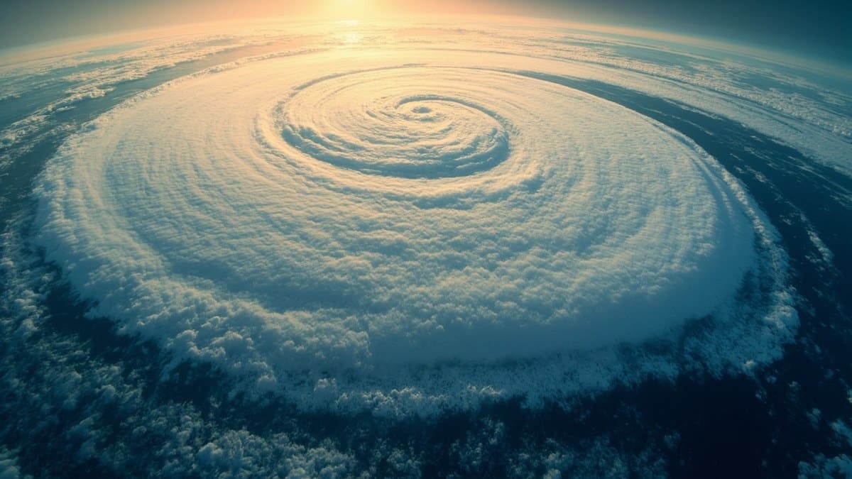
Bavi’s longevity was the result of an unusual combination of atmospheric features. The typhoon repeatedly found itself in a region of weak vertical wind shear, which allowed the central convection to remain stacked over the low-level circulation. At the same time, the storm kept drifting through pockets of warm ocean water that periodically recharged its energy supply, and it avoided the dry-air intrusions that typically kill off long-lived tropical systems. The result was a storm that tracked thousands of kilometers, brushed past several island groups, and remained a serious threat to shipping and coastal communities for the better part of three weeks. For climate scientists, the long lifespan of Bavi is the kind of signal that researchers expect to see more often as the climate warms, because the same warm-ocean conditions that extend a storm’s potential intensity also extend its potential lifespan. The appearance of a sixteen-day typhoon in 2026 does not by itself prove a long-term trend, but it is consistent with the kind of behavior the trend would predict, and it adds another data point to a body of evidence that is now becoming difficult to ignore. The longevity record reinforces the broader pattern of extreme weather events 2026 is producing across every basin. The combined signal from Bavi, Sinlaku, and the other long-lived systems has prompted several research groups to re-examine the relationship between ocean heat content and tropical-cyclone longevity in the modern climate.
6. Tropical Storm Mekkhala: From 35 Knots to Category 4 in 96 Hours
Of all the extreme weather events 2026 has produced, none has done more to focus the attention of the operational forecasting community than Tropical Storm Mekkhala’s explosive intensification in mid-June. Mekkhala formed south of the Mariana Islands on June 18, and at its initial naming it was a thirty-five-knot tropical storm, the kind of system that forecasters typically expect to drift westward, intensify gradually, and reach Category 1 or perhaps Category 2 strength at peak. Instead, within ninety-six hours, Mekkhala had reached Category 4 on the Saffir-Simpson scale, with ten-minute sustained winds in the one-hundred-fifteen-knot range. That is a four-category jump in less than four days, an intensification rate that puts the storm in the top few percent of all tropical-cyclone rapid-intensification events ever observed.
The mechanism behind Mekkhala’s rapid intensification is now being studied in detail by researchers at institutions including the National Oceanic and Atmospheric Administration and the Japan Meteorological Agency. The preliminary picture is that the storm moved over a small but very warm eddy of Pacific water, encountered a moist mid-level environment, and found itself in a region of unusually low vertical wind shear. All three factors together produced what researchers call a “perfect stage” for rapid intensification, and the storm took full advantage. For communities in the western Pacific, the operational lesson of Mekkhala is that the new climate envelope can produce rapid intensification events on shorter timescales than the historical forecasting record was built to handle. Emergency managers who previously had two or three days of warning before a storm reached major-hurricane strength are now sometimes dealing with a single day, and that compression of warning time is one of the most serious practical challenges posed by the changing climate of tropical cyclones. Among the extreme weather events 2026 has produced, Mekkhala stands out as the most operationally consequential because of that warning-time compression. Forecasters in the western Pacific now use Mekkhala as a benchmark for what rapid-intensification events can do in extreme weather events 2026 keeps producing.
7. The South Atlantic’s First Simultaneous Cyclones
The final entry on this list of extreme weather events 2026 is the one that atmospheric scientists will be talking about for years to come, because it represents a genuine first in the observational record. In late January, two distinct subtropical cyclones were observed simultaneously over the South Atlantic Ocean, a basin that until the early twenty-first century was widely considered to be a cyclone-free zone. The South Atlantic’s notorious lack of tropical activity has been attributed to a combination of strong vertical wind shear, relatively cool sea-surface temperatures, and the absence of a tropical-wave train like the one that seeds storms in the North Atlantic. Those conditions historically made the basin the closest thing the global tropics have to a cyclone desert.
That changed in 2004 with the first documented South Atlantic hurricane, and it has been changing gradually ever since as the basin’s environmental conditions have shifted. The 2026 event, however, was qualitatively different. The simultaneous presence of two organized subtropical cyclones over the same stretch of ocean is something the modern observational record had not previously captured, and it is the kind of event that researchers had only predicted in theoretical papers about how the basin might evolve under continued warming. The two systems stayed relatively weak, but their existence is a clear signal that the South Atlantic is no longer the cyclone desert it once was. For meteorologists in Brazil, Uruguay, and Argentina, the operational implications are significant, because forecasting infrastructure in the region was originally built around the assumption that South Atlantic cyclones were rare enough to treat as one-off curiosities. That assumption is no longer safe, and the 2026 event is likely to be cited in future planning documents for years to come. The simultaneous-cyclone observation in the South Atlantic may turn out to be the most-discussed extreme weather events 2026 has produced by season’s end, and it is already reshaping how regional forecasters interpret the extreme weather events 2026 will inevitably keep producing. For a broader public-audience look at the humanitarian toll, the UNICEF climate change portal tracks the year-by-year cost on children, and the Wikipedia “Tropical cyclones in 2026” reference page maintains a near-real-time tracker of the year’s full set of named systems. (For broader context, the World Meteorological Organization’s tropical cyclone programme maintains a public summary of every basin’s annual activity, and NOAA’s Climate.gov news features page tracks the year-round stream of attribution science as it is published.)
Frequently Asked Questions About Extreme Weather Events 2026
What counts as an extreme weather event?
Atmospheric scientists generally classify an event as extreme when it falls in the upper tail of the historical distribution for that type of phenomenon, typically the top one to five percent. The extreme weather events 2026 has produced qualify on that definition because they sit at or beyond the historical record for their basins in terms of intensity, duration, accumulated energy, or some combination of all three. The classification is statistical, but the human consequences are concrete.
How is the accumulated cyclone energy (ACE) index calculated?
ACE is computed by summing the square of the maximum sustained wind speed of every named storm at six-hour intervals across its lifetime. A season’s total ACE reflects both how many storms formed and how intense they were. The 271.3 units recorded for extreme weather events 2026 by July 6 is high, and the final annual value is likely to be considerably higher once the August to October peak of the Northern Hemisphere season is complete. That level of accumulated energy is one of the headline numbers meteorologists will use to summarize the extreme weather events 2026 produced by the end of December.
Why are so many storms rapidly intensifying in 2026?
Rapid intensification, generally defined as a thirty-knot increase in sustained winds in twenty-four hours, requires a specific set of conditions: very warm sea-surface temperatures, low vertical wind shear, and a moist mid-level atmosphere. All three of these conditions are more common in the present climate than they were a few decades ago, which is why the rate of rapid-intensification events has been rising across most of the global basins that produce the extreme weather events 2026 keeps recording.
Are extreme weather events 2026 caused by climate change?
Attribution science can now estimate how much more likely or more intense a specific event has become because of human-driven warming. The general pattern from peer-reviewed studies, including recent work published in Nature Climate Change, is that the most extreme rainfall and coastal-flooding events have become several times more likely than they were in the mid-twentieth century. The extreme weather events 2026 is producing are part of that broader pattern, though a formal attribution analysis for each individual storm is still underway. Researchers caution against attributing any single event to climate change alone, but the cluster of extreme weather events 2026 has produced already exceeds the statistical fingerprint of natural variability alone.
What can we expect for the rest of the 2026 season?
Forecasters at Colorado State University and other institutions have flagged the August to October window as the peak risk period for the Northern Hemisphere. With sea-surface temperatures already well above the historical average across the tropical Atlantic, the western Pacific, and parts of the Indian Ocean, the conditions for further extreme weather events 2026 is likely to produce are in place. The official seasonal forecasts issued in mid-2026 generally call for above-average activity across most basins, and the public should expect the catalogue of extreme weather events 2026 produces to keep growing through December.
How do scientists tell whether a storm is record-breaking?
The comparison is made against the observational record, which for tropical cyclones is reasonably reliable back to the middle of the twentieth century and increasingly patchy further back. Each year’s seasonal summary compares the new event against the previous best for the same basin, the same time of year, and the same general category of storm. The extreme weather events 2026 is producing are notable because they exceed the previous best by meaningful margins, not by tenths of a percent.
Related Reading on Viral Untold
- Unbelievable Animal Stories 2026: 7 Proven Tales
- Top 10 Biggest Sea Monsters Ever Recorded (2026 Edition)
- Scientific Discoveries 2026 Breakthrough: 12 Proven Wins
- Space Exploration Milestones 2026: 7 Records That Changed Everything
- Most Ancient History Nobody Knows 2026: 8 Revealed Wonders
The Rest of 2026 and What Comes Next
Extreme weather events 2026 have already produced a season that will be studied in atmospheric-science departments for the rest of the decade. The seven systems surveyed here, ranging from the record pressure of Typhoon Sinlaku to the never-before-seen South Atlantic simultaneity, are not isolated curiosities. They are the early entries in what is shaping up to be one of the most active global tropical-cyclone seasons of the satellite era, and the August to October peak of the Northern Hemisphere is still ahead. For readers who want to follow the rest of the year as it unfolds, the best single sources are the National Oceanic and Atmospheric Administration’s Climate.gov portal for general climate context, the World Meteorological Organization’s tropical-cyclone programme for authoritative storm reports, and the seasonal forecasts issued by Colorado State University and other research institutions. The full story of 2026 is still being written, and the next chapter, like the last one, is likely to be unlike anything in the historical record. As the August to October peak of the Northern Hemisphere arrives, the catalogue of extreme weather events 2026 is producing will almost certainly grow. The seven storms surveyed here are the headlines so far, not the final word.